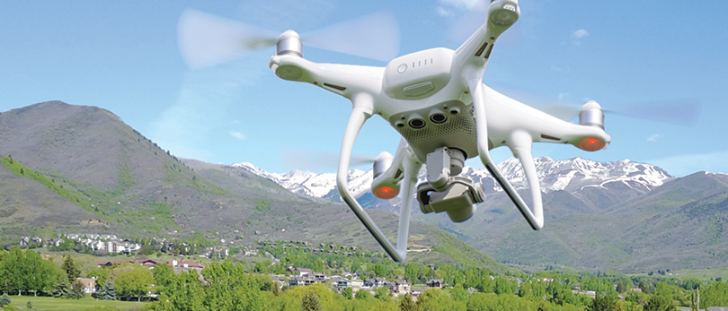
Aerial drone technologies are being leveraged by real estate professionals to assist with mapping and selling properties
By Donna Shryer

Some 20 years ago, Mary Biathrow, CRS, was asked to help sell a friend’s 77-acre island in the Bahamas.
Now a broker with Berkshire Hathaway York Simpson Underwood, serving the North Carolina markets of Raleigh, Durham and Chapel Hill, Biathrow recalls the process back then.
“First, I looked for ways to get aerial footage. Our only option was to hire a photographer who could capture images from a helicopter. It was expensive, photograph angles were limited and the quality was grainy—but aerial footage was imperative, so we took what we could get,” Biathrow says. The next step was to find a local agent to work with.
By the Numbers
83% of home sellers prefer to work with an agent using drones.
53% of properties with more than 2 acres include drone footage.
High-volume agents use aerial footage 3.5 times more often than low-volume agents.
Fast forward to the drone’s initial swoop into the real estate industry and Biathrow was first in line to try out the new technology. “I knew from my earlier experience what a powerful story aerial shots tell. Plus, drones brought the cost down considerably and gave us a beautiful range of photo angles and quality. I was sold from the start,” she says.
In addition to professional endorsements, there are a few stats worth citing. According to MLS statistics, home listings that include aerial images sell 68% faster than homes with only standard images. There’s also a telling study conducted by SoldByAir, a company that specializes in drone services for the real estate industry.
Go Pro or D.I.Y.
Should REALTORS® invest in their own drone or work with a professional? There doesn’t appear to be a right or wrong answer—providing a REALTOR® has sufficient time, training and passion to successfully work with drone technology.
“I actually own my own drone, but I don’t use it for professional work,” says Cindy Hope, CRS, broker/REALTOR® with Allen Tate Realtors and serving the Charlotte metro area and upstate South Carolina. “There are so many FAA rules and regulations to know. There are also no-fly zones. And like any art form, good drone photography takes talent and dedication. I strongly suggest hiring a dedicated, licensed and insured professional—unless aerial photography is your passion and you’re qualified.”
Tom Ward, CRS, REALTOR® with Windermere Real Estate in Park City, Utah, completely agrees, which is why he does own and fly his own drone for professional needs. “I live in an amazing place, and getting the right view to promote a listing is a passion of mine. But it’s not for everybody,” he says. “If you don’t really want to invest the time and money, I would absolutely recommend using a professional drone photographer.”
Thinking beyond the obvious
Luxury homes with spectacular acreage, amazing views and architectural magnificence may be the go-to focus for aerial footage, but there are additional ways to use a drone. Here are a few lesser-known but highly effective tips.
If it’s not a selling point, don’t feature it in an aerial video. It’s sound advice from Verna Littleton, CRS, broker with Kaizen Realty, LLC, in Memphis. “I had this beautiful home with a very small backyard, and I knew that an aerial shot would show just how small the backyard was. So I edited out the backyard footage and focused on the front of the home. I certainly wasn’t trying to hide the backyard, but it made no sense to feature it, either.”
Biathrow offers another drone dilemma. “I had one listing in a heavily wooded area and from an aerial view, you simply couldn’t see the home through the dense trees. So I passed on the drone and went with traditional photography, which gave us a beautiful shot.”
Share a dramatic, sought-after view, regardless of the property’s price point. Ward recalls using a drone to promote what he refers to as “a newer, modest home” with a spectacular view of Mount Timpanogos. “That’s the view everyone wants here. So I flew the drone about 20 to 30 feet up to get a beautiful shot of the home with this amazing view.”
It turns out that flying a drone only 20 or 30 feet high helps capture a realistic view, as if sitting in a home’s living room. “Flying 300 or 400 feet in the air, just because you can, could backfire,” Ward says. “It may end up looking like a satellite view—and then you lose the drama.”
Share your drone experience in listing presentations. “I’ve landed several listings after sharing one of my videos with aerial footage,” Biathrow says. “I think home sellers really want to know that I’ll use the latest technology—like drones—to promote their home.”
Promote a home’s neighborhood. Cindy Hope, CRS, broker/REALTOR® with Allen Tate Real Estate and serving the Charlotte metro area and upstate South Carolina, uses a drone to spotlight a property’s proximity to nearby features. “I had a listing in a highly desirable area that was in close proximity to a lake. However, this particular home was not lakefront property, so it had no pier or dock in the backyard that I could show in a traditional photo. I needed a drone to explain how close the home was to the lake.”
Hope also suggests using drones to showcase a home’s location within trending urban areas. For instance, an aerial view could show a listing’s reasonable distance from the city’s downtown business or entertainment district—a benefit often appreciated by first-time, younger homebuyers. “Many times I use a drone to promote a home’s location rather than the property itself,” Hope says.
Drone footage attracts mid-range homebuyers. Using drones solely to promote luxury homes is “missing the boat,” Littleton says. “When a first-time homebuyer is looking online, starter home photographs can begin to look alike. Then they come to my listing with this great aerial view—maybe promoting that this mid-range home is on a quiet cul-de-sac, has a big backyard or is around the corner from a wonderful park. The view may not be dramatic, but in this price range, the drone shots set my listings apart. And more often than not, offers are above listing price.”
Ward offers one final tip that has nothing to do with promoting a property—but it could lead to a new client or strong reference down the road. “When I’m taking aerial footage of a client’s home, the neighbors sometimes get upset. Take the time to introduce yourself to the neighbors, let them know what you’re doing and tell them how much you respect their privacy. Assure them that your drone is not looking inside their home. A little respect goes a long way.”
Make it Count
Everyone agrees that drones, also called unmanned aircraft systems or UAS, capture breathtaking aerial views of a home’s exterior and landscaping. At the same time, though, it’s important to note that there can be too much of a good thing.
“Drone photography has to make sense. That may mean editing out 10 minutes of video the drone captured while flying over a home’s roof, which in most cases adds nothing,” cautions Tom Ward, CRS, REALTOR® with Windermere Real Estate in Park City, Utah. With a license to fly drones and a passion for aerial footage, Ward learned from experience to select just enough drone shots to protect the technology’s wow factor and truly enhance a home’s story.
And it’s best to resist a “long story.” For maximum viewer engagement, Wistia Inc., a video-software company, puts a video’s sweet spot at two minutes, with a significant drop in engagement for every second after that. So it bears repeating that at a certain point, even the most amazing footage can lose its impact with overuse.
It’s also important to remember that drone shots are meant to complement—not replace—beautiful photographs, Ward says. “Professional photographs and videos still have a place when promoting a property.” For example, he adds, mixing carefully focused, fixed-position photography with drone footage can actually increase the aerial shots’ wow factor.
For the latest on regulation and legislative efforts on the use of drones, please go to nar.realtor/drones.


